Search -
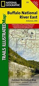
Buffalo National River East, AR Trails Illustrated Map # 233
Buffalo National River East AR Trails Illustrated Map 233
Author:
Coverage includes Leatherwood Wilderness, Ozark National Forest, Lower Buffalo Wilderness, Loafer's Glory Wildlife Management Area, Gene Rush Buffalo River Wildlife Management Area. Includes UTM grids for use with your GPS unit. Approximately 4 1/4" x 9 1/4" folded; 27" x 39" fully opened Scale = 1:35,000 Map revised - 2009
ISBN-13: 9781566954068
ISBN-10: 1566954061
Publication Date: 1/1/2009
Edition: 2
Rating: ?
ISBN-10: 1566954061
Publication Date: 1/1/2009
Edition: 2
Rating: ?
0 stars, based on 0 rating
Publisher: Natl Geographic Society Maps
Book Type: Map
Members Wishing: 0
Reviews: Amazon | Write a Review
Book Type: Map
Members Wishing: 0
Reviews: Amazon | Write a Review


